Backpacking in the Maze, Canyonlands National Park

Entry posted by Aaron Zagrodnick in Trips ·
27,605 views
A few years ago and to follow up on a previous Utah hiking trip, Ted Ehrlich and I spent a few days backpacking in the Maze District of Canyonlands National Park. The Maze is frequently referred to as one of the most remote spots in the lower 48, and though I’m not sure how exactly it ranks on that scale, it did require some significant amounts of off-highway driving to reach.

The Maze is located in southeastern Utah, west of the confluence of the Colorado and Green Rivers and bordered by the both to the east. Though bordered by water on one side, water is scarce. Springs are scattered to the south and within the canyons themselves, but can’t always be relied upon. We found the plateaus completely devoid of water, and found little water when dropping into the canyons / the Maze itself.

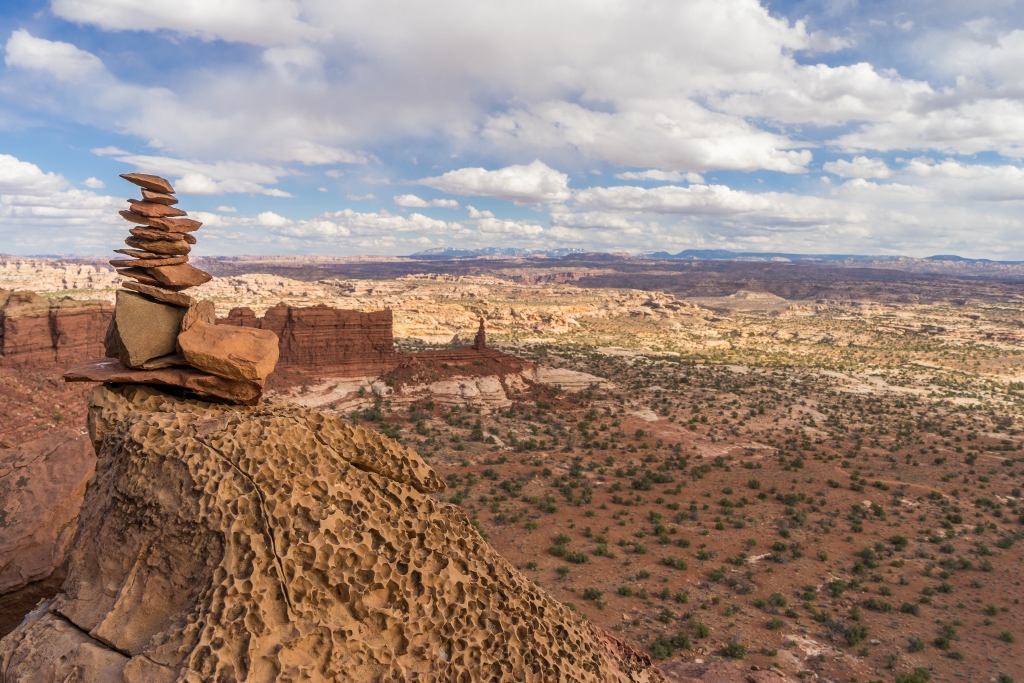
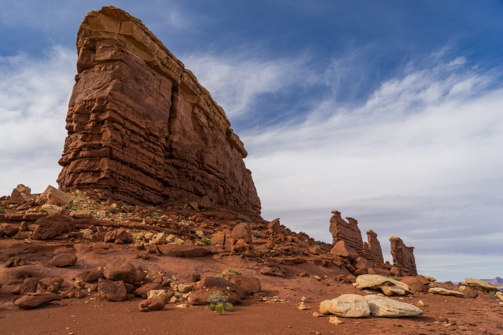
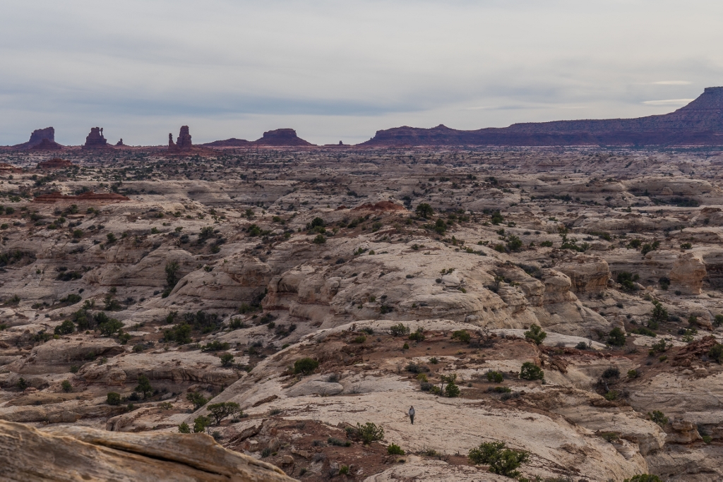
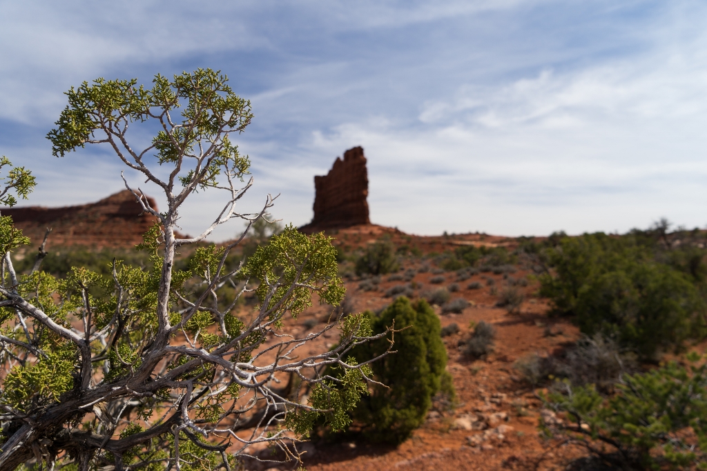
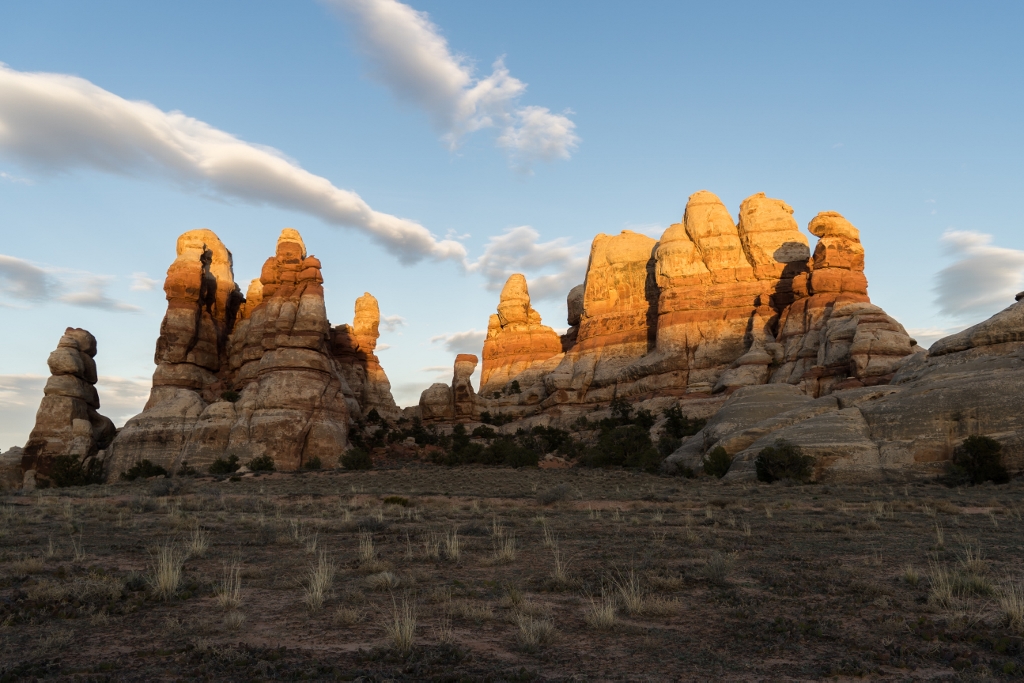
Needless to say, views in the Maze don't disappoint.
Getting to the Trailhead
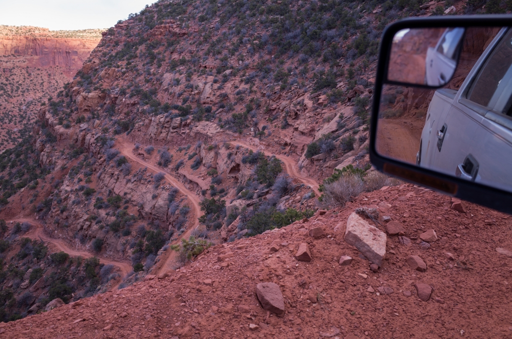
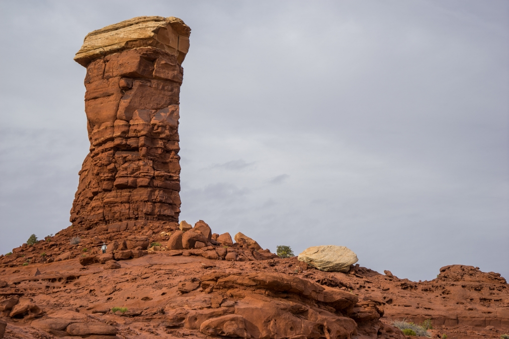
I’m no 4x4 enthusiast, so we elected to start our trip from the Golden Stairs Trailhead which avoids the roughest sections of 4 wheel drive roads in the Maze. A trail switchbacks down from this spot to the 4 wheel drive road that runs across the southern end of the area where we planned to hike, so a bit of road walking was involved. However, it’s definitely one of the best road walks I’ve ever encountered. From here we essentially route planned on the fly, including an out and back to the Chocolate Drops, a day hike loop past the Harvest Scene, and eventually made our way to the Doll House area and areas overlooking the Colorado River. If you’re carrying a lot of water like we were, the out and backs and day hike loops make things easy by allowing you to temporarily stash some of that weight, and with the way the trails / routes and the roads all seem to intersect in the Maze, many interesting routes can be devised.
The Maze is desolate country – arrive prepared and with plenty of water.
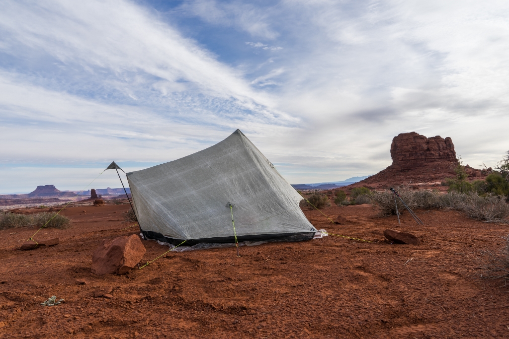
In the Maze
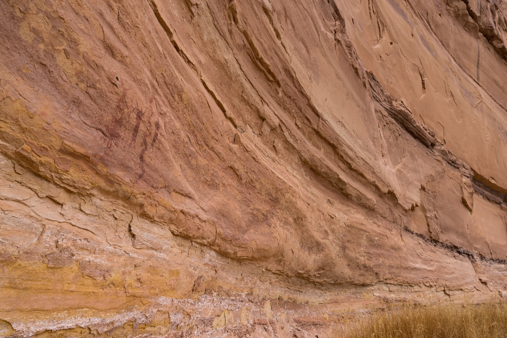
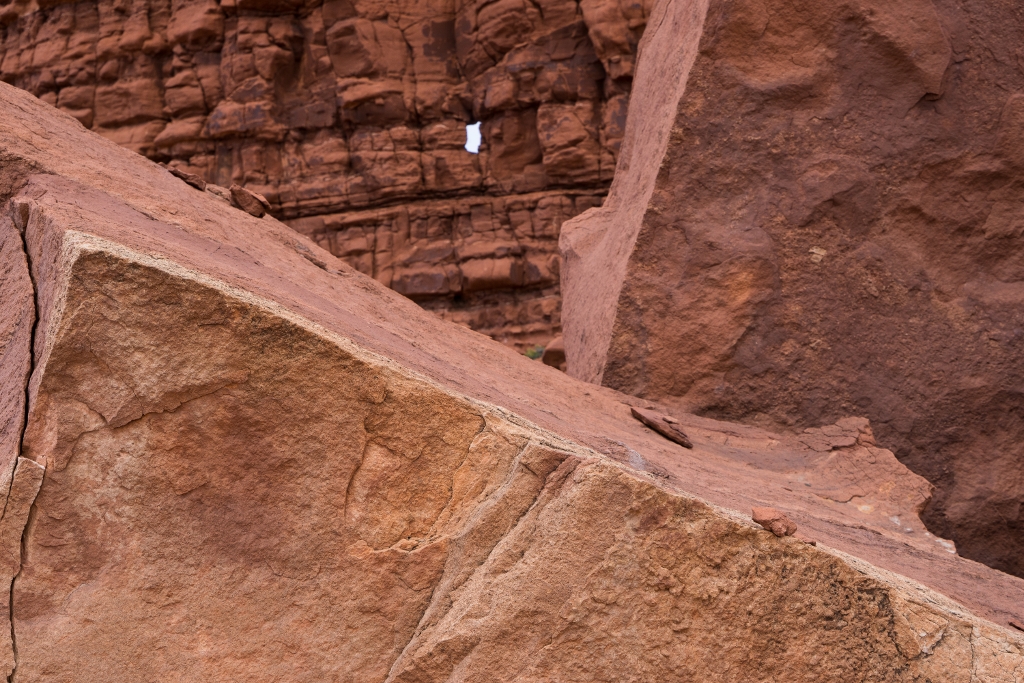
The country is beautiful in a unique and desolate way. It’s also a land of contrasts. The plateaus – hot, windy, and dry, rarely a bird or rabbit to be seen. But the 12,000’ + peaks of the La Sal Mountains rise in the distance with snow-capped peaks and forests rising up their sides. Plunge into the canyons of the Maze and the winds die down, the sun disappears and you can feel the water in the air – but can’t always find it. Deer tracks run through the sand and each bend brings something new, and something ancient. Sunsets never seemed to disappoint and were some the best I can ever recall seeing. Rock holds it all together in an eclectic array of constantly unique shapes and colors. It’s definitely one of those spots that keeps calling you back – I can’t seem to put the map away and shake the idea of another trip. Or maybe it's the sand I'm still shaking out of my shoes that keeps reminding me. With summer heat on the way, hopefully that return trip happens soon.
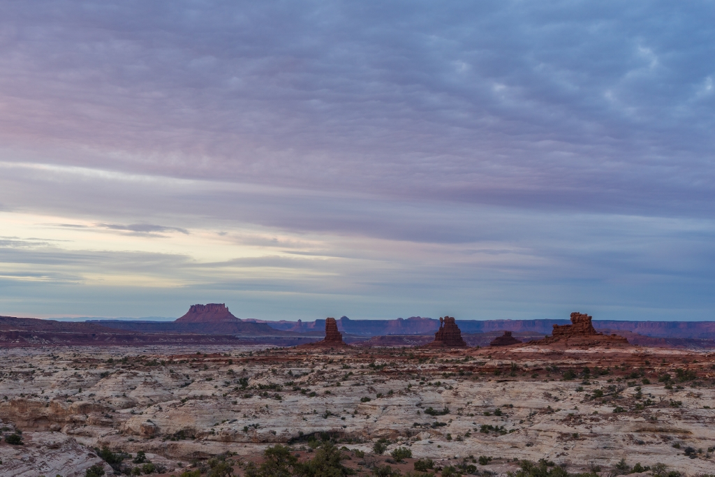
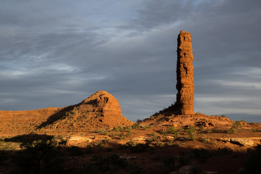
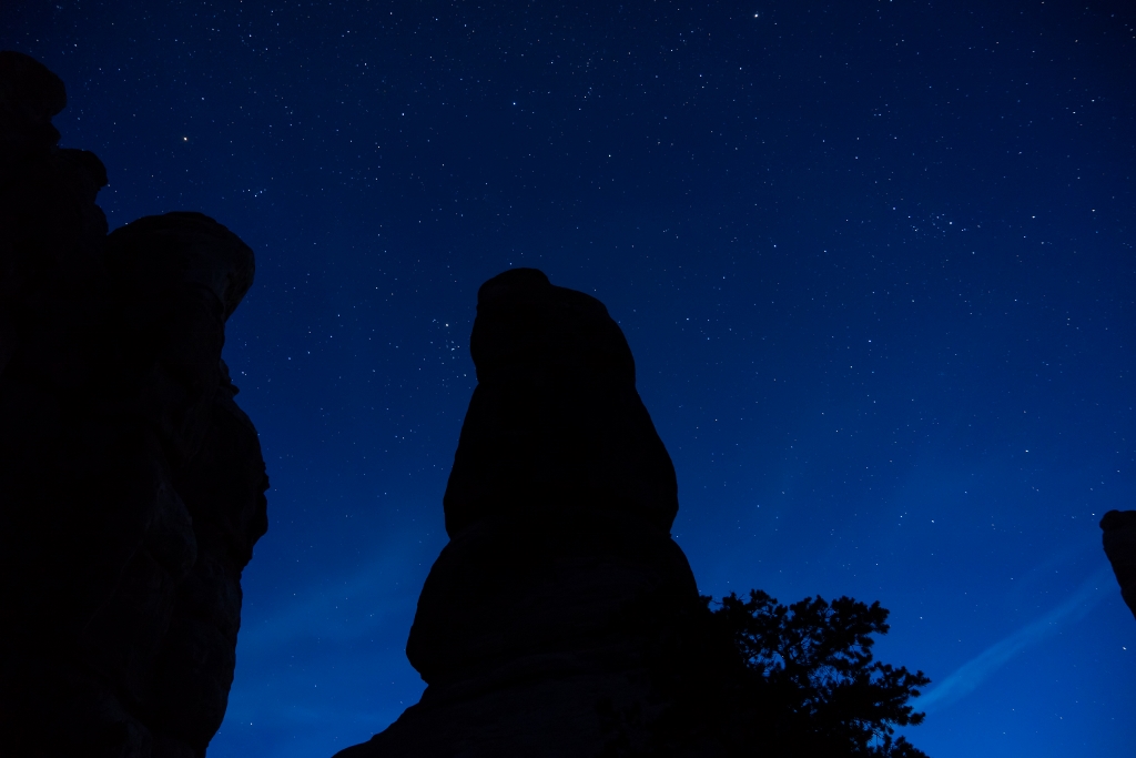
Things only get more interesting around sunset in the Maze.
Need to Know
Best Time to Go
Spring and Fall. Winter can be quite cold and access difficult due to road closures / access. Summer brings very hot hiking and everything that goes with it.
Getting There
From Green River, Utah travel on Highway 24 south for 24 miles. Near the Goblin Valley turnoff you’ll see a signed dirt road leading East. Alternatively travel north from Hanskville. Travel on this 2wd road for 46 miles to the Hans Flat Ranger Station (open daily 8 AM – 4:30 PM). Continue 12 miles (High clearance 2WD / 4WD) to the top of the Flint Trail Switchbacks. Stop here at the overlook to ensure no vehicles are ascending the switchbacks; if any are wait until they get to the top. Uphill has the right of way and passing will be quite difficult on this section. From this point the roads will be high-clearance 4WD only. Descend the Flint Trail Switchbacks, travelling 3 miles to the fork and navigating 3 hairpin, multiple point turns where a spotter will be very helpful. Once at the bottom, taking the left fork will take you to the Maze Overlook (13 miles) or to the turn off for the Golden Stairs campsite / trailhead (1 mile to the turnoff, an additional mile to the parking area).
From the base of the Flint Trail switchbacks, you can also take the right fork and drive directly to the Maze through Teapot Canyon, a much rougher route. One option is to park at the top of the Flint Trail Switchbacks and Hike in via Golden Stairs from there if you or your vehicle isn’t up for the rougher driving in the park. Trails can also be accessed via the Maze Overlook which may require some exposed climbing maneuvers / pack lowering via rope.
An alternate dirt road leads north from Highway 95 at Hite. We didn’t explore this road, but at the time of this writing it’s reported to be smoother but requires a longer drive. From this road you can access the road into the Maze through Teapot Canyon or travel to the base of the Flint Trail Switchbacks / beyond. The Park Service has listed driving times here, and we found them to be surprisingly accurate in practice.
Information
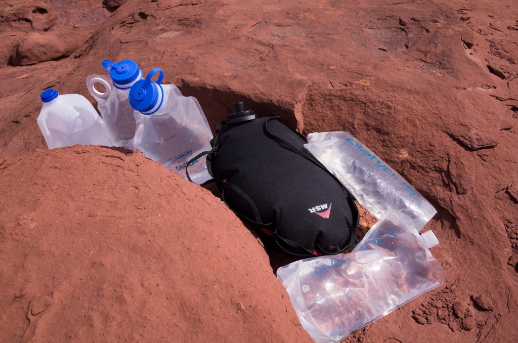
Permits start at $36 and are required for camping and backpacking in the Maze. Check the calendar to reserve a spot. If backpacking permits are full, check for 4WD site availability – the sites are quite nice. Keep in mind however that visitors staying at 4WD sites are required to pack everything out, while those with backpacking permits are required to pack out T.P. only (and all other trash, of course). Cryptobiotic soil is prevalent in the Maze, avoid traveling across it and stick to established routes or slickrock / no impact areas. Check with the Hans Flat Ranger Station for water and road conditions prior to starting your trip. The area is remote, take extra water and leave extra in your vehicle. Take a filter and always carry enough water to get back to your last known source. The Colorado River can be accessed at Spanish Bottom if needed. We carried all the water we needed in a mix of everything from gallon jugs to Nalgene Cantenes, containers from Platypus, and MSR Dromedary Bags.
Maps
We used National Geographic Trails Illustrated Map 312 and 210. Delorme's Utah Atlas and Gazetteer and this overview map can also be helpful.
-
 1
1

8 Comments
Recommended Comments
Create an account or sign in to comment
You need to be a member in order to leave a comment
Create an account
Sign up for a new account in our community. It's easy!
Register a new accountSign in
Already have an account? Sign in here.
Sign In Now